
The Chang’e 3 Lander is on the surface! What an amazing accomplishment for our Chinese friends. Now that it’s down, let’s take a look back at our guesses of the trajectory and see what we got wrong, and what we know about the real trajectory now that we know the landing site and the time of the landing.
First off, note the real landing site, compared to the landing site that was identified pre-launch
Real landing site/time Lat = 44.12 deg N. Lon = -19.51 W @ 13:11:18 UTC.
Reported site/time Lat = 43.07 deg N. Lon = – 31.05W @ 13:40 UTC
Real landing site with the bullseye to the east, prelaunch reported site to the west.
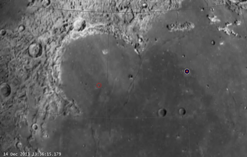
Real vs. Reported Landing Site (click to zoom)
So what does this tell us?
As we suggested in our earlier posts, the reported landing site could not be achieved at the landing time from a 90 deg inclination orbit. The actual landing site, however, could be (and was) achieved from 90 degrees. Let’s check out then, what it must have been (LRO orbit in magenta, LADEE orbit in Blue, neither on the same side during the landing):
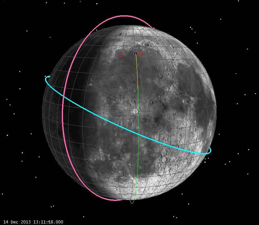
Real Landing Geometry of Chang’e 3 (click to zoom)
And ten minutes before:
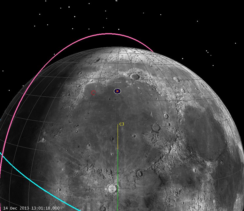
Real Landing Geometry of Chang’e 3, L-10 min (click to zoom)
So we didn’t need a different inclination, 90 degrees was fine. With the proper landing time and site, we would have had a really good estimate of the trajectory. It’s all “basic geometry, and we know about that!”
Finally, here’s the local terrain looking from the southwest.
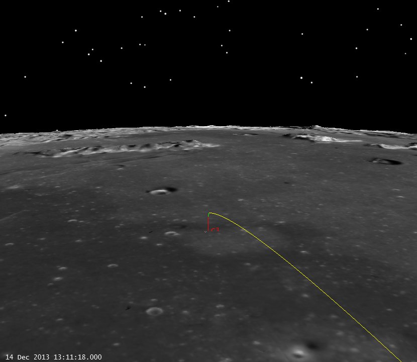
Chang’e 3 Landing Site, (click to zoom)
Again, really cool work by the Chinese Chang’e 3 Team!
-Astrogator_Mike
